|
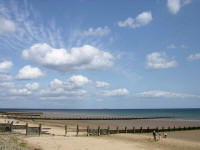 Redcar
is a
seaside town situated on the North East coast of Yorkshire, 10 miles east of Middlesbrough,
5 miles
west of Saltburn-by-the-Sea and about 20 miles north
of Whitby. To the south are Guisborough and
the beautiful Redcar
is a
seaside town situated on the North East coast of Yorkshire, 10 miles east of Middlesbrough,
5 miles
west of Saltburn-by-the-Sea and about 20 miles north
of Whitby. To the south are Guisborough and
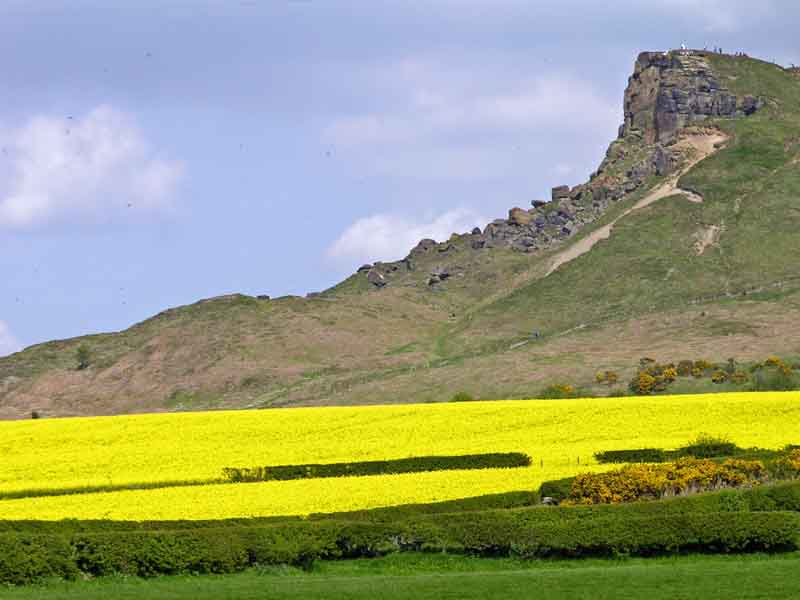
the beautiful
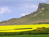 North Yorkshire Moors National Park, and to the
east is Markse-by-the Sea and Saltburn.
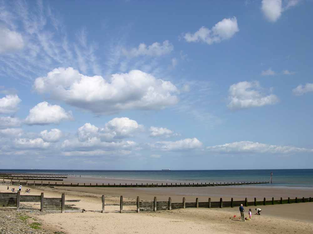
Encompassing Redcar are 8-miles of sand and rocks to walk
along, stretching from the estuary of the River Tees to
Saltburn. North Yorkshire Moors National Park, and to the
east is Markse-by-the Sea and Saltburn.
Encompassing Redcar are 8-miles of sand and rocks to walk
along, stretching from the estuary of the River Tees to
Saltburn.
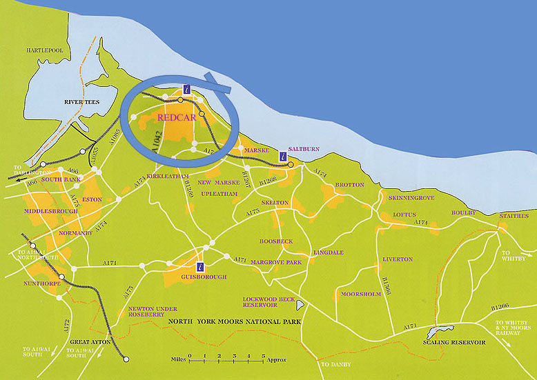
Coming from the north, south, or west,
(see Fig. 1 below) the following route is suggested:
1. Take
the A19 until the junction with the A174
(signposted Redcar).
2. Along
the A174 for about 8 miles to a R. Abt, and go straight
on passing Wilton Chemical Works on the left to the next
Round-about.
3. Take
the 1st exit from the Round-about along Kirkleatham Lane
(A1042), and then after about ¾ mile
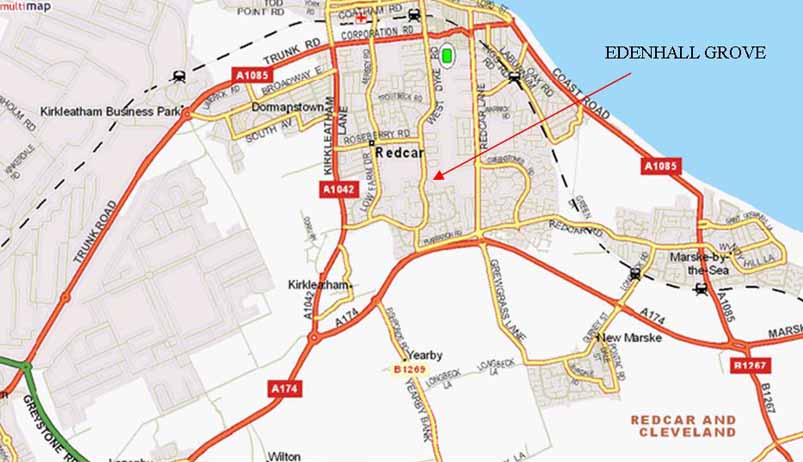
turn right into West Dyke Road (Fig. 2 below).
4. Continue
along West Dyke Road for just less than 1 mile (Fig. 3 below)
and turn right into Edenhall Grove (there is a signpost
to Ann Charlton's Lodge). The Gospel Hall is 100 yards on
the left.
It is almost
directly opposite the Redcar Primary Health Care Hospital, on
the other side of West Dyke Road.
If travelling from
the east or south-east take the A174 from Saltburn
through the outskirts of Marske and
continue on the A174 until the junction with
Kirkleatham Lane (A1042) - see Fig 2. After 0.5 miles turn right
into West Dyke Road (Fig.3) towards Redcar. Edenhall
Grove is about 1 mile along on the right and the
Gospel Hall can be easily seen from the junction with West
Dyke Road. It is almost directly opposite the Redcar Primary
Health Care Hospital, on the other side of West Dyke Road. |